First Published December 2019 | Words and photos by Vietnam Coracle
This post was last updated 5 years ago. Please check the comments section for possible updates, or read more on my Updates & Accuracy page.
INTRODUCTION | GUIDE | MAP | RELATED POSTS
A meandering road trip in the cool, clear air, and vivid ‘HD’ colours of the Western Highlands, the Dak Nong Geopark↔Dong Nai River Motorbike Loop is packed with natural attractions and great riding roads. A huge swathe of land stretching to the Cambodian border, Vietnam’s Western Highlands are mostly overlooked by travellers. But this region, with its rich, red soil, is an agricultural powerhouse, boasting big landscapes, wind-swept plateaus, huge skies, an excellent road network, and a real sense of scale, freedom, and adventure. The blood-red earth, nourished by ancient volcanic activity and old-growth forest, fuels the cultivation of cash crops, such as coffee, tea, cashews, and cassava, while the area’s mineral resources attract investment in gigantic bauxite (aluminium) mines. Even with the encroachment of agriculture and industry, the Western Highlands still have a wild side, in the form of thundering waterfalls, big trees in shimmering jungles, placid lakes, national parks, and the two main features of this motorbike route: the rambling Dong Nai River and the recently formed Dak Nong Geopark. This is a sensory route, full of smells, sounds, sights and tastes: coffee blossom, blue skies, damp earth, wood smoke, rain, birdsong, running water, spices, and hot cups of locally-grown coffee.

The Western Highlands: big open spaces, huge skies, excellent riding & lots of natural attractions
[Back Top]
GUIDE: DAK NONG GEOPARK↔DONG NAI RIVER LOOP
This guide is a bit different from most of my other motorbike guides: Rather than writing a detailed description of the route, I’ve let my map and photos do most of the talking. However, I have written a few sections with general information about the route (see Contents below), including road conditions, weather, where to start/end, how to use the map, where to stay, and what to see. But the general idea of this guide is: trust the map, trust the route, trust the images, and trust your own sense of adventure. Do this and I’m confident the Dak Nong Geopark↔Dong Nai River Loop will be a rewarding experience, because this motorbike route is a lot of fun, easy to ride, packed with sights, and full of opportunities to get off the beaten track:
ROUTE MAP
Dak Nong Geopark↔Dong Nai River Loop
Blue line: main route | Red lines: side routes
View in a LARGER MAP
About this Route & Guide:
Below I’ve written a few brief paragraphs covering general details about the Dak Nong Geopark↔Dong Nai River Loop, such as road conditions, how to use the map, where to start/end the route, and how to extend it:

Weaving over mountains & plateaus, the Dak Nong Geopark↔Dong Nai River Loop covers over 1,000km
General Information: The Dak Nong Geopark↔Dong Nai River Loop covers well over 1,000km. On my map, I’ve outlined the main route in blue. In addition, I’ve marked several good side routes in red. You can pick and choose which roads to take, but, if time allows, I’d recommend riding as many of these routes as possible. Exploring this region by motorbike is such good fun and, although it’s all fairly easy to ride and access, few other travellers bother to come here. However, note that it’s not advisable to ride the red route north of Phuoc Long and into Bu Gia Map National Park, because this is a border region with Cambodia and you’re almost certain to be stopped and turned away by officials. Also, unless you have a suitable motorbike and off-road experience, don’t attempt the red route along the north shore of Tri An Lake, because this has some awful sections of muddy road. Other than that, give yourself plenty of time – at least a few days – and get lost on this fabulous route, enjoying the wide open spaces and big skies, basking in the light and cool temperatures, and eating up the miles on the roads of the Western Highlands.

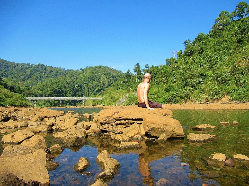
This motorbike loop is all about being outside in the open air – feeling, seeing & smelling the highlands
[Back]
Using the Map: I realize that, at first glance, my map may appear to be too ‘busy’. But, zoom in on particular areas of the route and it will become much clearer. Or, you can control what you see on the map by choosing to hide or display different ‘layers’ of the map from the slide-out menu on the left side of the screen. For example, if you click on the layers titled ‘Routes & Side Routes’ and ‘Accommodation, Food & Drink’, then the map will only display these layers, while hiding the other layers, and so on.

If my route map appear too ‘busy’, zoom in or use the ‘layers’ function to control what you see
[Back]
Road Conditions: In general, road conditions on the main route (the blue line) are very good: the vast majority of roads are paved; some are in excellent condition, others are a bit worn but are no hindrance to riders, while others are undergoing repairs in parts, but still pose no significant obstacle. On the side routes (the red lines), however, there are a few dirt sections, rough patches, and severely potholed parts. I’ve marked these as best I can on my map. But even these sections should be perfectly passable for most riders on most bikes, unless the weather has been particularly wet, in which case they may be best avoided. (As mentioned, don’t attempt the red route along the north shore of Tri An Lake unless you have a suitable dirt bike, and don’t ride the red route north of Phuoc Long into Bu Gia Map National Park, because the border police will likely turn you back.)

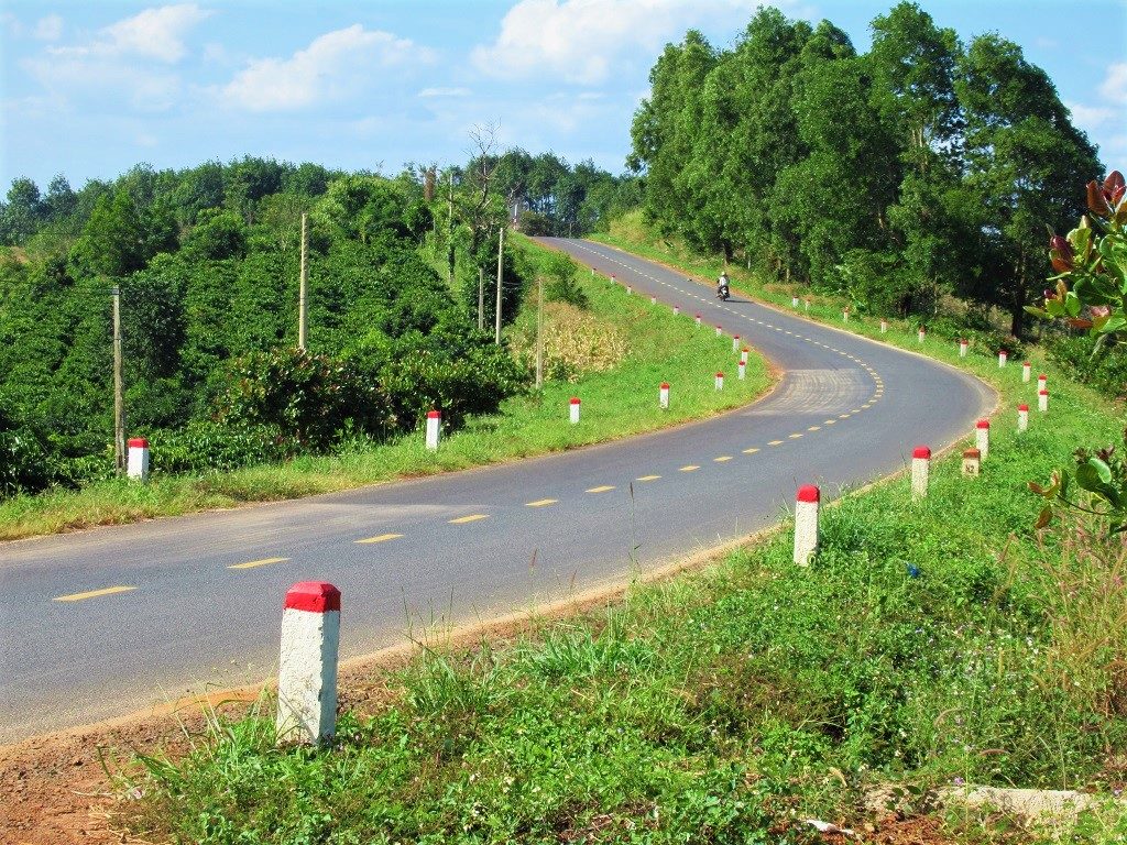
Road conditions on the loop are very good, but some sections are rough: I’ve marked these on my map
[Back]
Where to Start/End: This route can be ridden either as a loop or as a meandering one-way ride from A to B. There are several potential start/end points for the route. For example, you could start/end from Saigon, or Buon Ma Thuot, or Dalat. All of these are fine and all have good bus and air connections with most major domestic hubs. But, personally, I think the Dak Nong Geopark↔Dong Nai River route is best if you start from Saigon and follow it all the way to Buon Ma Thuot or Dalat, from where you can either put your motorbike on one of the many ‘VIP’ limousine buses back to Saigon (try Long Van for Buon Ma Thuot or Thanh Buoi for Dalat) or continue riding through the Central Highlands by connecting with the amazing Truong Son Dong Road heading north.
You can ride the Dak Nong Geopark↔Dong Nai River route in any direction and in whichever order you choose: there’s no standard way to do it. However, part of the fun of this route is seeing, feeling, and smelling the changes as you ride from the big city (Saigon), into the industrial suburbs (Bien Hoa), out to the agricultural belt (Binh Duong Province), then the midlands (Binh Phuoc and Dong Nai provinces), and finally reaching the big landscapes of the highlands (Dak Nong, Dak Lak and Lam Dong provinces). It’s a joy.

There are 3 main options for start/end points for the loop: Saigon, Buon Ma Thuot or Dalat
[Back]
Connecting Routes: The Dak Nong Geopark↔Dong Nai River Loop overlaps with several other routes that I’ve written guides to, and can be extended in various ways by connecting with other great roads in the area. In particular, the following guides are good extensions to the east of this route: Back Ways to Dalat | La Nga River & Thac Ba Waterfall | Binh Thuan Back-Roads. While the following guides make excellent extensions to the north of this route: Truong Son Dong Road | Ho Chi Minh Road (section 2 onwards). See Related Posts for more.

The Dak Nong Geopark↔Dong Nai River Loop can be connected & extended via these related routes
What to See & Do:
This route passes through a host of national parks, nature reserves, lakes, rivers, forests, archaeological sites, and extensive agricultural plantations, including cashew, coffee, tea, rubber, and passionfruit. I’ve marked many of these sights on my map. Of particular interest is the Dak Nong Geopark, which has only recently been created, and which is hoping to become part of the UNESCO Global Geoparks Network. This is an exciting development, since it could open Dak Nong Province (previously overlooked by the majority of travellers) to tourism. Local authorities have put a lot of thought into its development, including three routes through the region, all on good roads, all with good signage and information boards, all passing through volcanic landscape of geological importance and natural beauty, such as extinct volcanoes, rain-filled calderas, lava fields and lava tubes. Many of the points of interest in the Dak Nong Geopark are marked on my map, but if you’d like more details – including multiple pamphlets and maps – drop into the Dak Nong Geopark Information Centre in Gia Nghia.
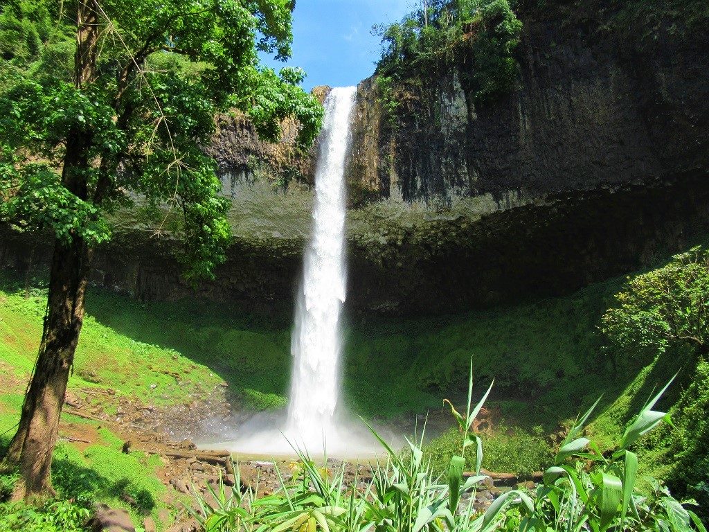
There are many natural attractions on the route, including Lieng Nung Waterfall, in Dak Nong Geopark
There are good waterfalls throughout the loop, many of which I’ve marked on my map. Perhaps the most impressive is Lieng Nung, near Gia Nghia. The Dong Nai River (which, at nearly 600km, is the longest river to be entirely located within Vietnam’s borders) is a constant feature on this route. From the industrial sprawl of Bien Hoa (where its muddy waters flow wide and slow, with the consistency and colour of melted chocolate) to the gigantic dams in the highlands near the border of Dak Nong Province (where it runs swift and cold, the color of steel), the Dong Nai River curves its course through jungles and mountains, often intersecting and following this route. Ta Dung Lake, created by dams on the Dong Nai River, is an enormous body of water dotted with green islands. It’s best seen from the cafes on the hill at the north of the lake, which boast spectacular views. Finally, Cat Tien National Park has long been a popular destination, with several hikes and wildlife viewing opportunities.
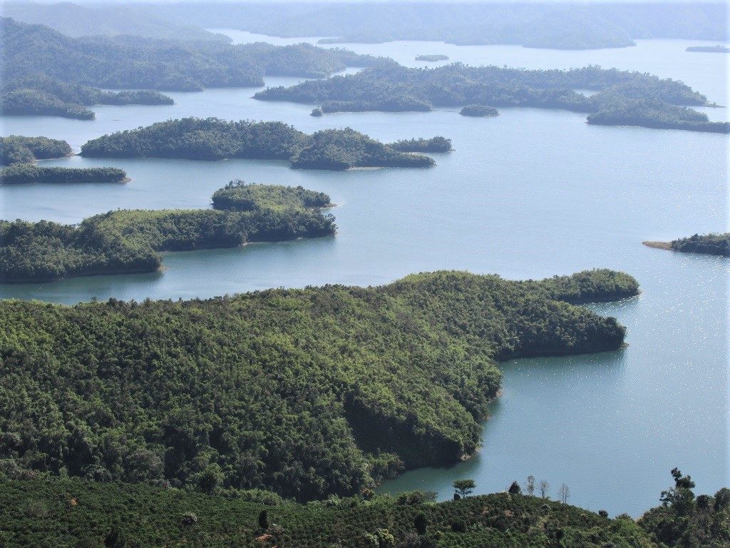
Ta Dung Lake is one of many reservoirs on the route, created by dams on the Dong Nai River
Where to Stay, Eat & Drink:
Hotels, Guest Houses, Resorts & Camping: Throughout this route there are, as always, decent and inexpensive nhà nghỉ (local guest houses). Most of the villages, towns and cities marked on my map with a red pin have at least one or more nhà nghỉ. But there are also several excellent places to stay which are essentially destinations in themselves, worthy of a full day and a night. These include, Lak Tented Camp, Freedom Green Village, Ta Dung Top View Homestay, Forest Floor Lodge, Ivory Falls Villa, and Ba Dat Eco Homestay among others. I’ve marked all of these and many more accommodation options on my map with orange bed icons. There’s also ample opportunity for ‘wild camping’ along this route, but, of course, you’d need to bring your own equipment with you and be sensible when choosing your campsite. Some official campgrounds, including around Ta Dung Lake, can be found here and there. [As always, you can support this website by booking your accommodation through the links provided in this guide and on my map.]
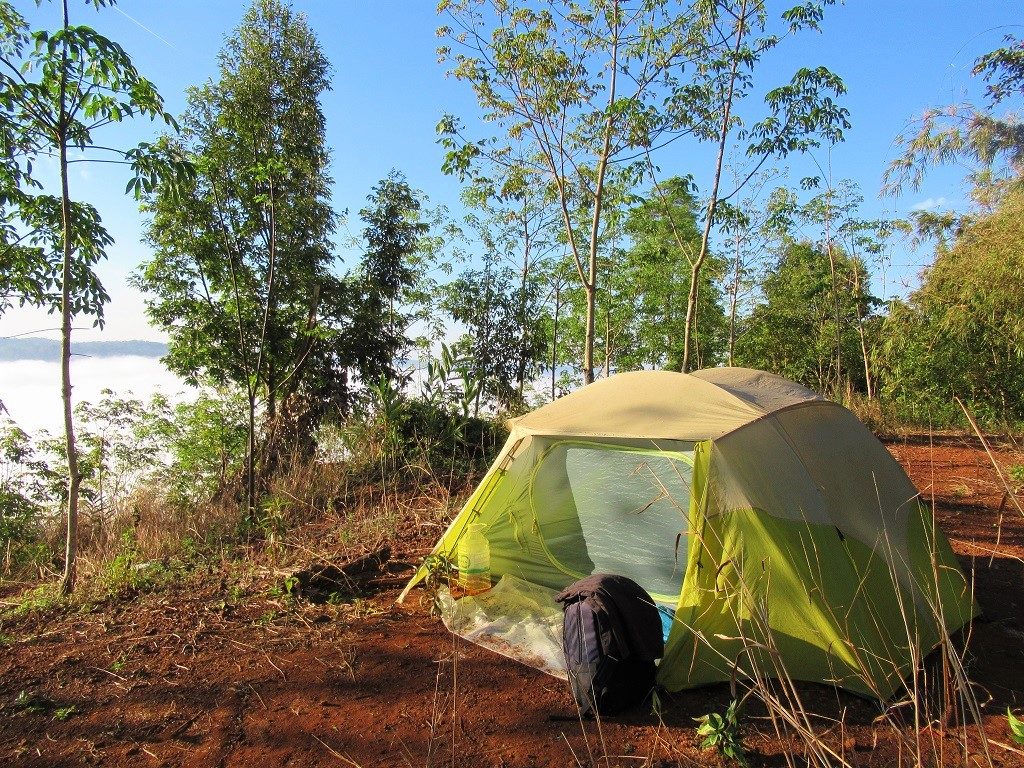
There’re guest houses throughout the route, some excellent homestays & resorts & camping is also great
Food & Drink: There are good street food stalls, rice eateries, noodle shops, and local restaurants in all the villages, towns and cities throughout this loop. As ever, eating is a highlight of travelling in this region, and you certainly won’t go hungry. If you’re looking for cheap snacks, head to the markets: I’ve marked several on my map. Because most of this route is on the ‘coffee belt’, you’ll find cafes everywhere you go. This is especially true the further north you travel on the route, as it enters the coffee growing plateaus where the lion’s share of Vietnam’s coffee is grown. Coffee culture is rich in Vietnam, but in the Tây Nguyên (Western Highlands) it’s on another scale. These days, almost all villages have coffee shops with espresso machines using locally grown beans, and offering Vietnamese- or Italian-style brews. I was on a constant caffeine high while researching this route. Local beer can be found anywhere, but for cocktails and a more eclectic range of booze, you’ll need to hit the bigger cities on the route: Buon Ma Thuot, for example, is hopping with hipster-style craft beer bars and cafes.
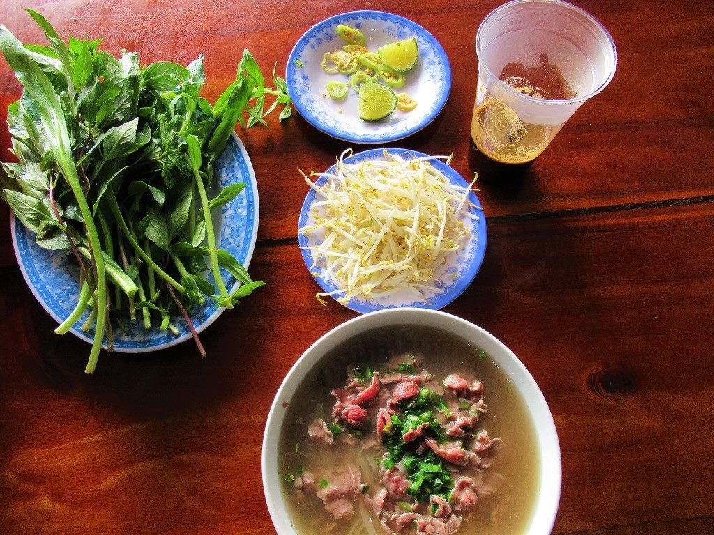
Food in the Western Highlands is fresh & hearty; coffee is locally sourced, strong & always available
Weather & When to Go:
The Dak Nong Geopark↔Dong Nai River Loop is great to ride at any time of year, but by far the best months are November to March. This is dry season, when the skies are blue, the air clear (warm during the days, cool during the nights), the light extraordinarily sharp, the coffee harvest in full swing, and the coffee blossoms in full bloom. It’s magical. Other months are great too, but, if you’re unlucky, rain and grey skies can really take the shine off any trip to the Western Highlands. Before setting off on this route, it’s wise to check the forecast for the coming few days (the rain & thunder satellite view on Windy.com is a good resource).
Bear in mind that, because most of this route is in the Central Highlands (particularly the high plateaus of the Western Highlands), temperatures are generally 10-15°C cooler than in lowland and coastal regions of Vietnam. Add some rain and the windchill factor on a motorbike, and it can feel pretty cold at times. Come prepared: a pair of long pants, a sweater, a pair of trainers, and a rain suit should be enough for most people.
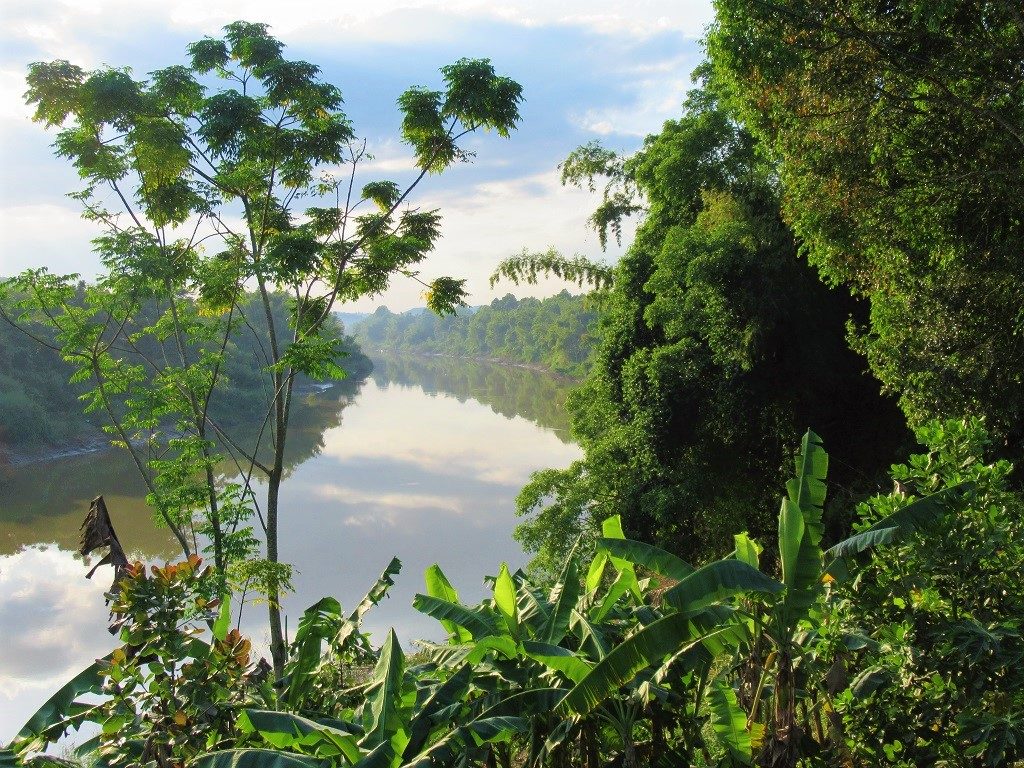
This motorbike route is good year-round, but by far the best weather is November to March
Image Gallery:
Below is a gallery with some 60 images from the Dak Nong Geopark↔Dong Nai River Loop. I’ve captioned each image, including links to my map, in order to show which part of the route the photo was taken:
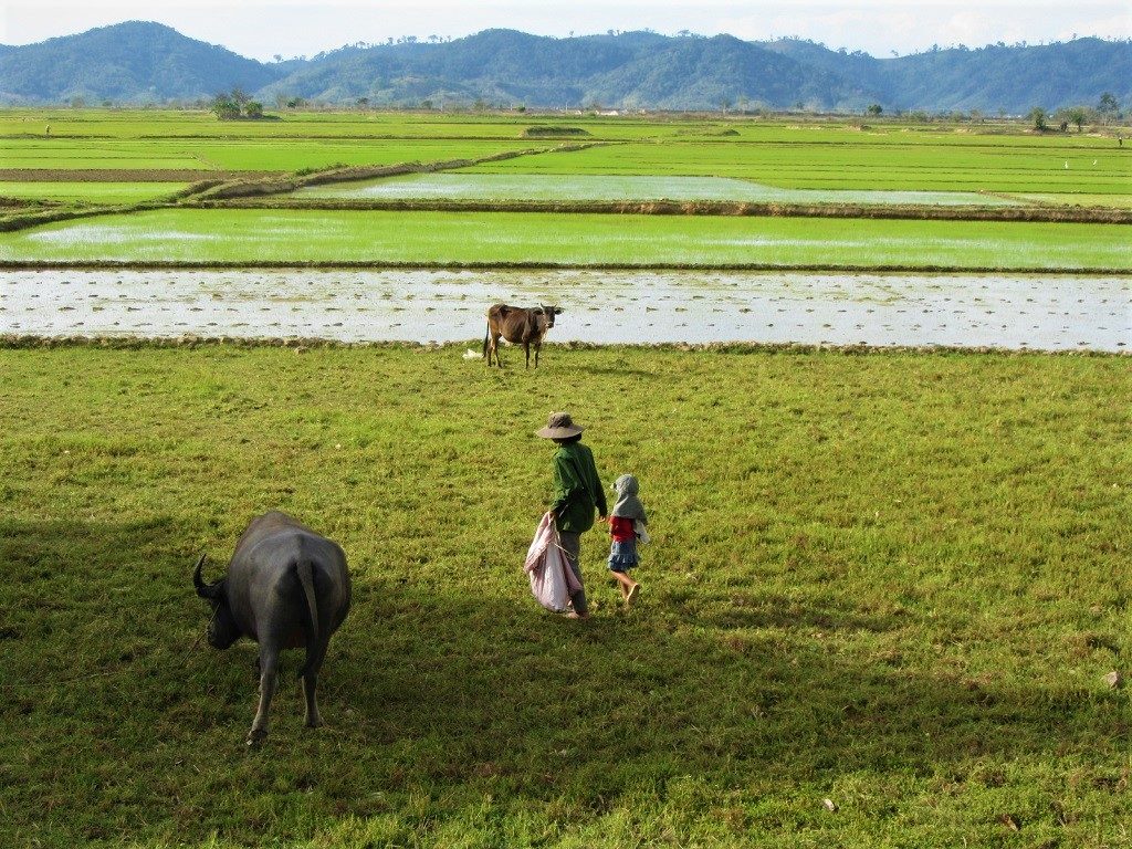
Walking into the rice fields at dawn on the edges of Lak Lake in Dak Lak Province

Riding off the Buon M’Lieng Ferry on a wooden gangplank, north of Lak Lake, Dak Lak Province
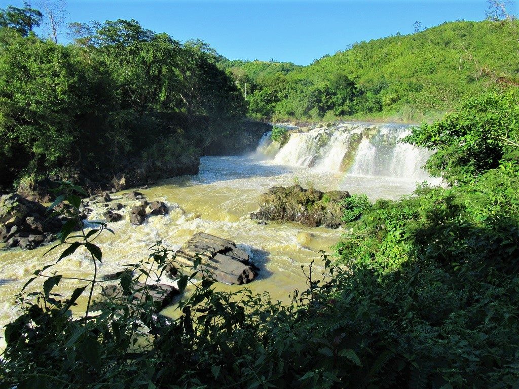
Gia Long Falls, named by the last of the Nguyen Dynasty emperors of Vietnam, in honour of the first
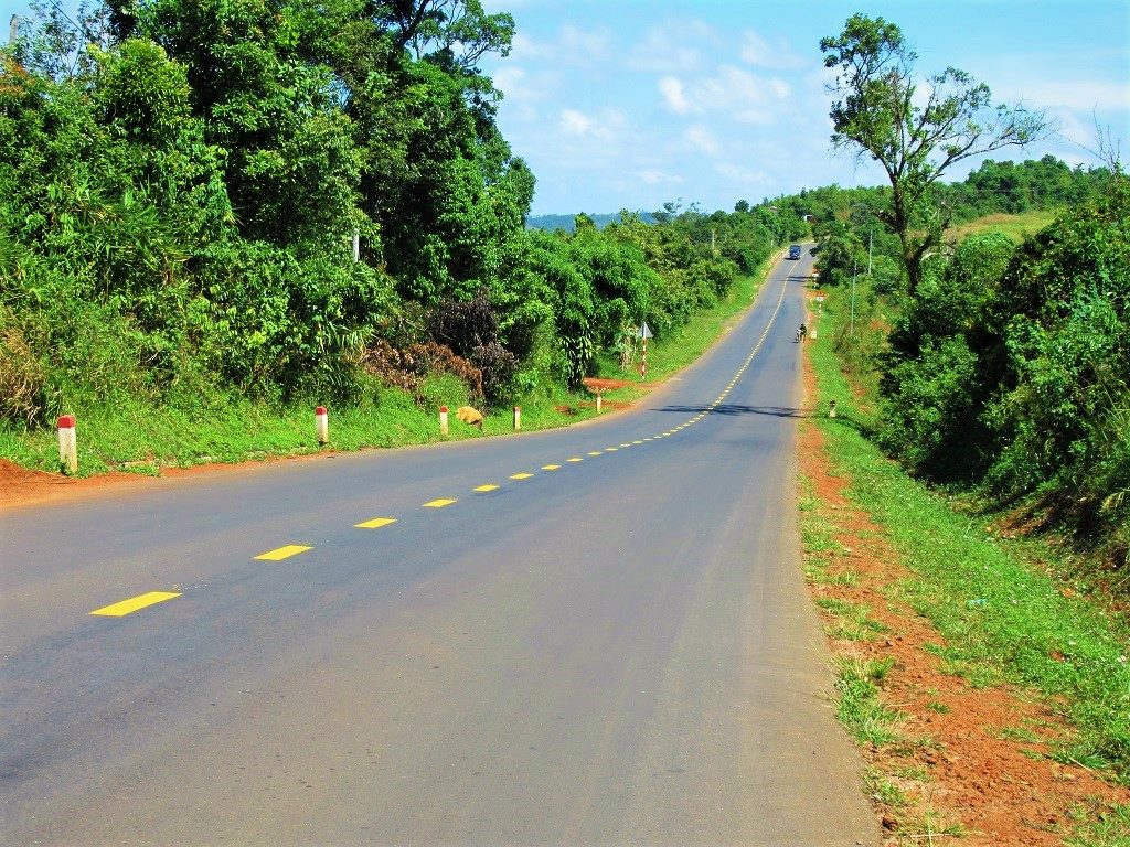
Road DT684 ploughing straight across agricultural plateaus northeast of Gia Nghia, Dak Nong Province
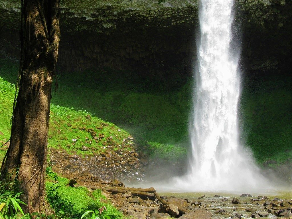
The thundering braid of white water at Lieng Nung Falls, east of Gia Nghia, Dak Nong Province
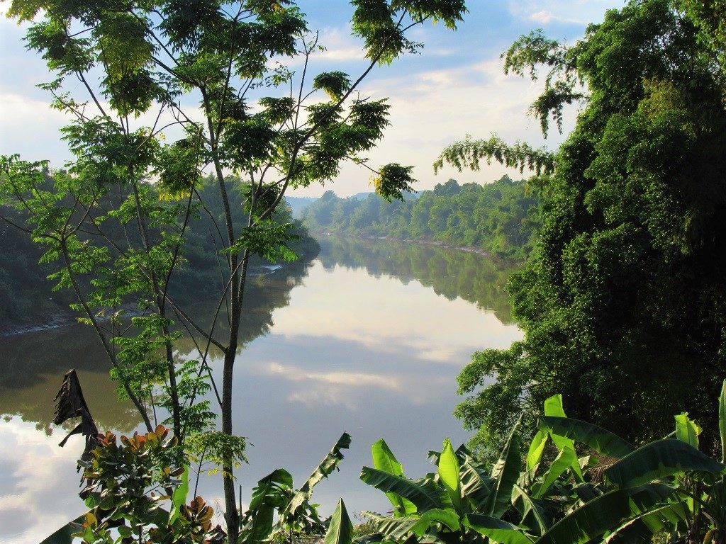
A peaceful evening light falls on the Dong Nai River, near Cat Tien Village, DongNai Province
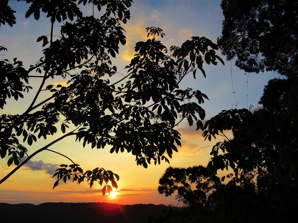
Sunset from my tent on a ridge above the Dong Nai River Hydroelectric Dam No.5
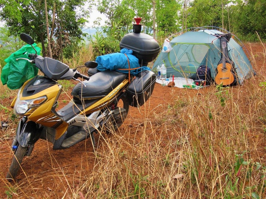
Camping on high ground in the forests on the Dong Nai Dam No.5 Road, Lam Dong Province
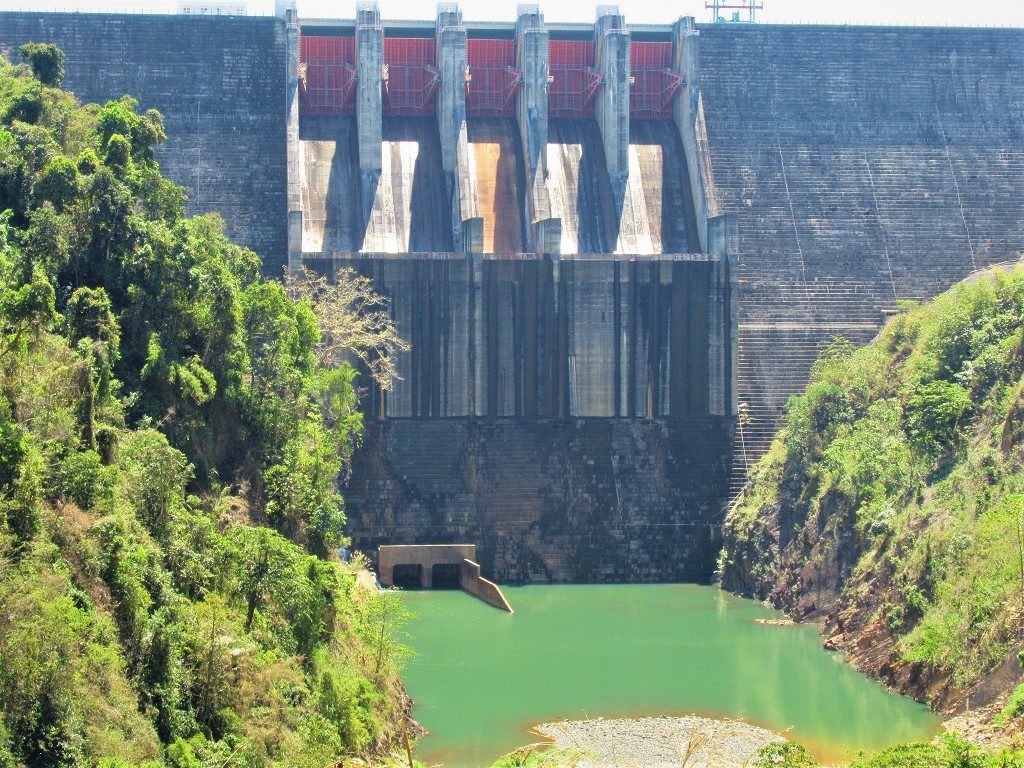
One of the many impressive dams on the Dong Nai River, Road QL28, Dak Nong Province
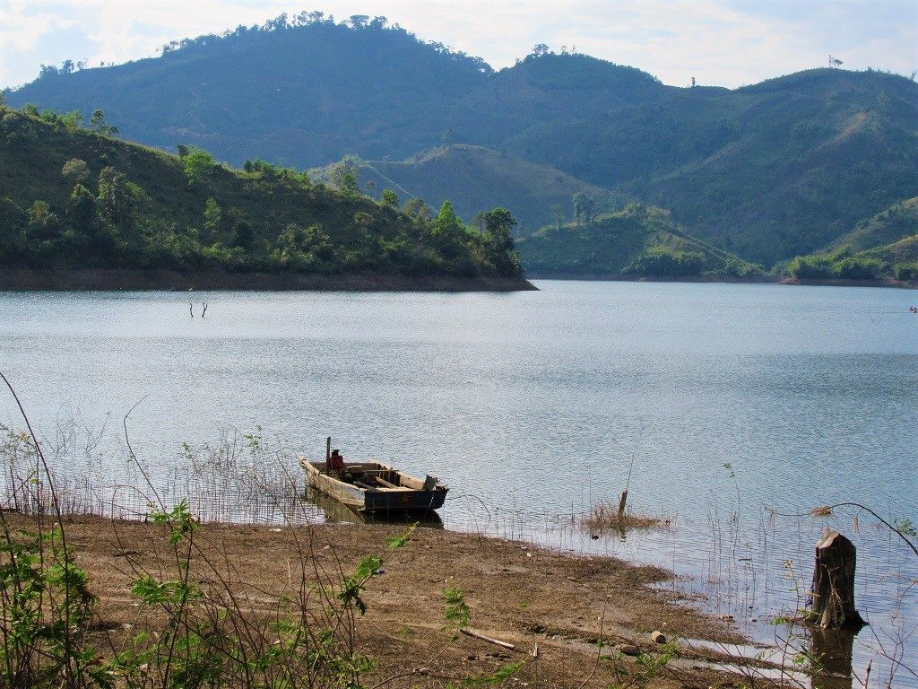
A wooden skiff on the calm waters of Ta Dung Lake, Dak Nong Province
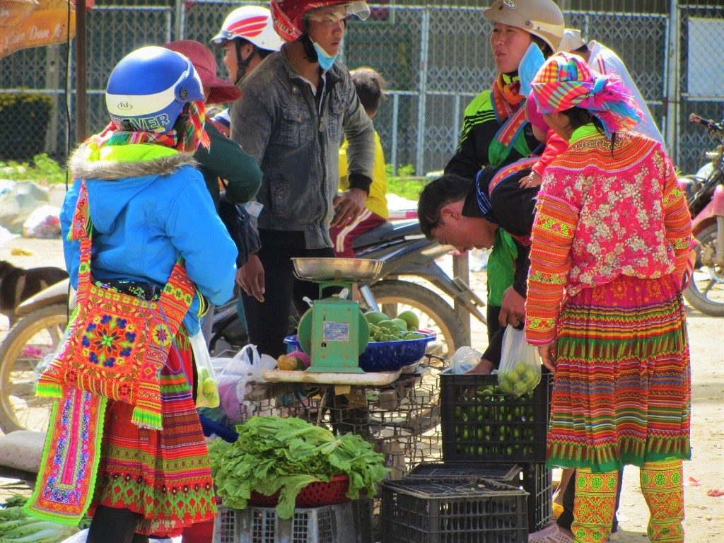
Buying & selling at Lien Son Market, near Lak Lake, where many different ethnic minority groups live

Beautiful paved back-roads leading west of Lak Lake through farmland

Coffee berries in one of the many thousands of small-hold plantations in the Western Highlands

Looking from a viewing platform across flooded rice fields towards Chu B’luk Volcano

A giant old ficus tree growing on the hill above Ta Dung Lake

A spacious, cheap & bright room at the Sai Gon-Dak Nong Hotel, in Gia Nghia City
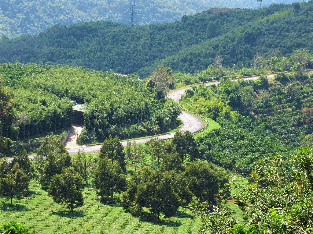
Road QL28 winding through coffee, tea, pepper & cashew plantations around Ta Dung Lake

The forests around the edges of Lua Waterfall, in Dak Lak Province
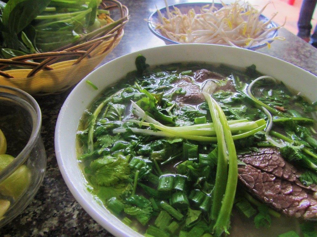
A hot, hearty bowl of phở bò (beef noodle soup) on a cold highland morning, near Buon Ma Thuot
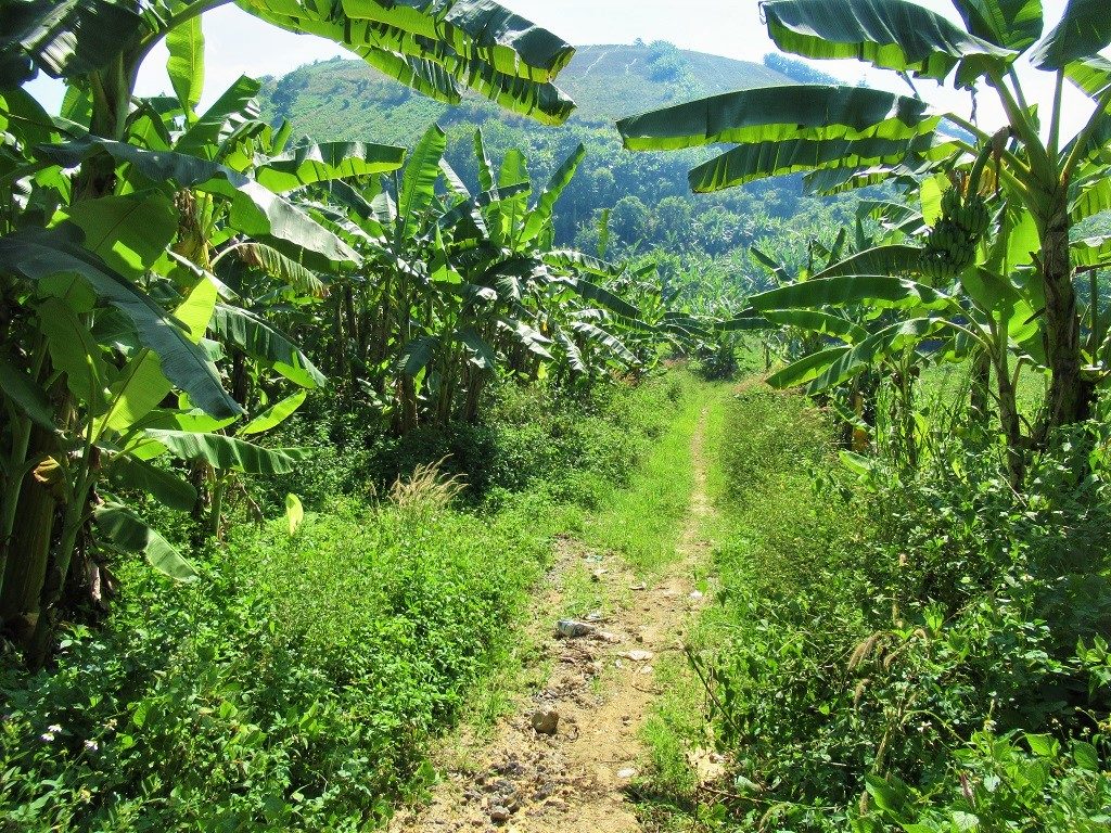
Looking up the path to Nam Kar Volcano, Dak Nong Province

Multiple (free) information pamphlets & maps at the Dak Nong Geopark information centre, Gia Nghia
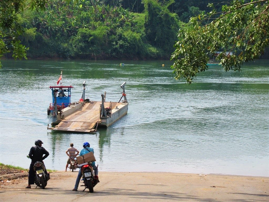
Waiting for the boat at the Hieu Liem-Binh Duong ferry crossing on the Dong Nai River
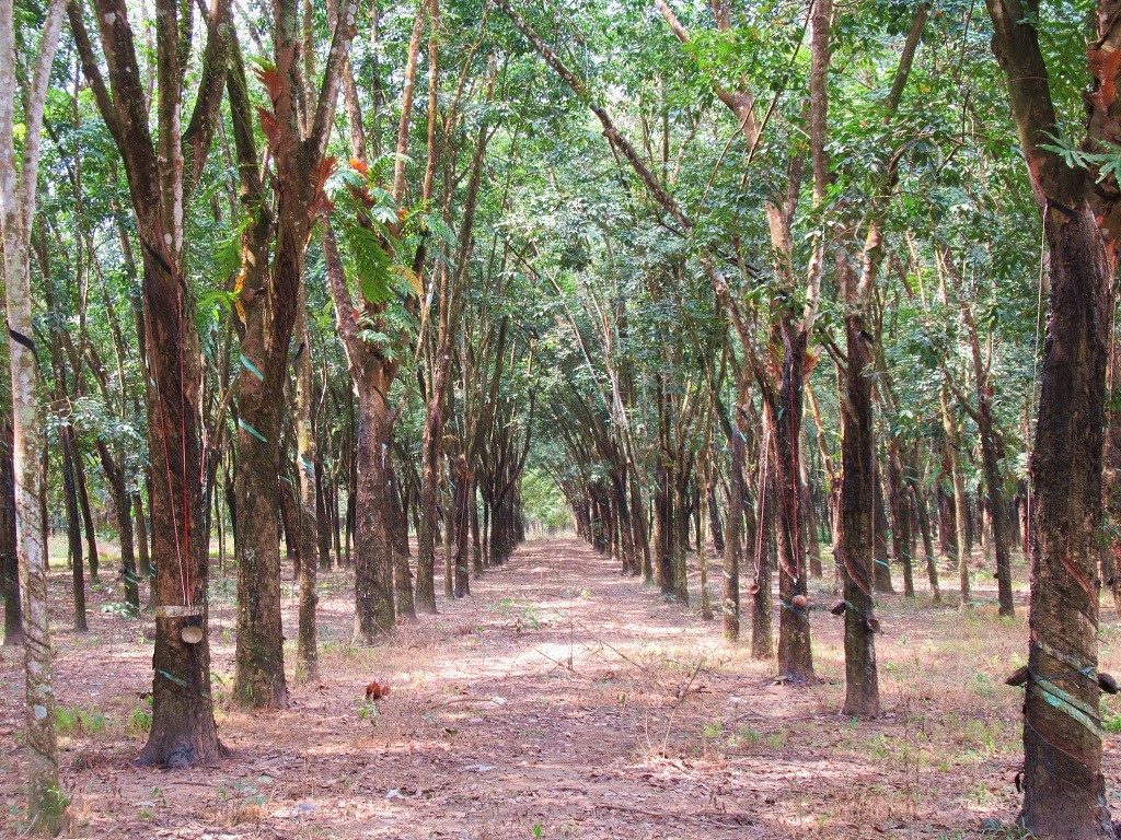
Rubber tree plantations on Road HL416, in Binh Duong Province
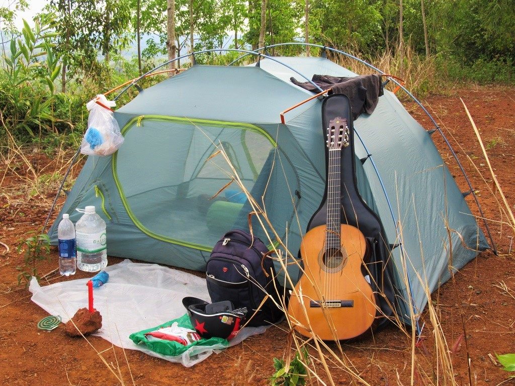
My tent & camping ‘luxuries’ on a ridge in the forests above the Dong Nai River, Lam Dong Province
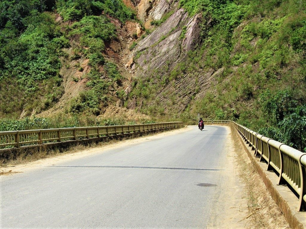
Crossing the Dong Nai River on Road QL28 near Dam No.4, Dak Nong Province
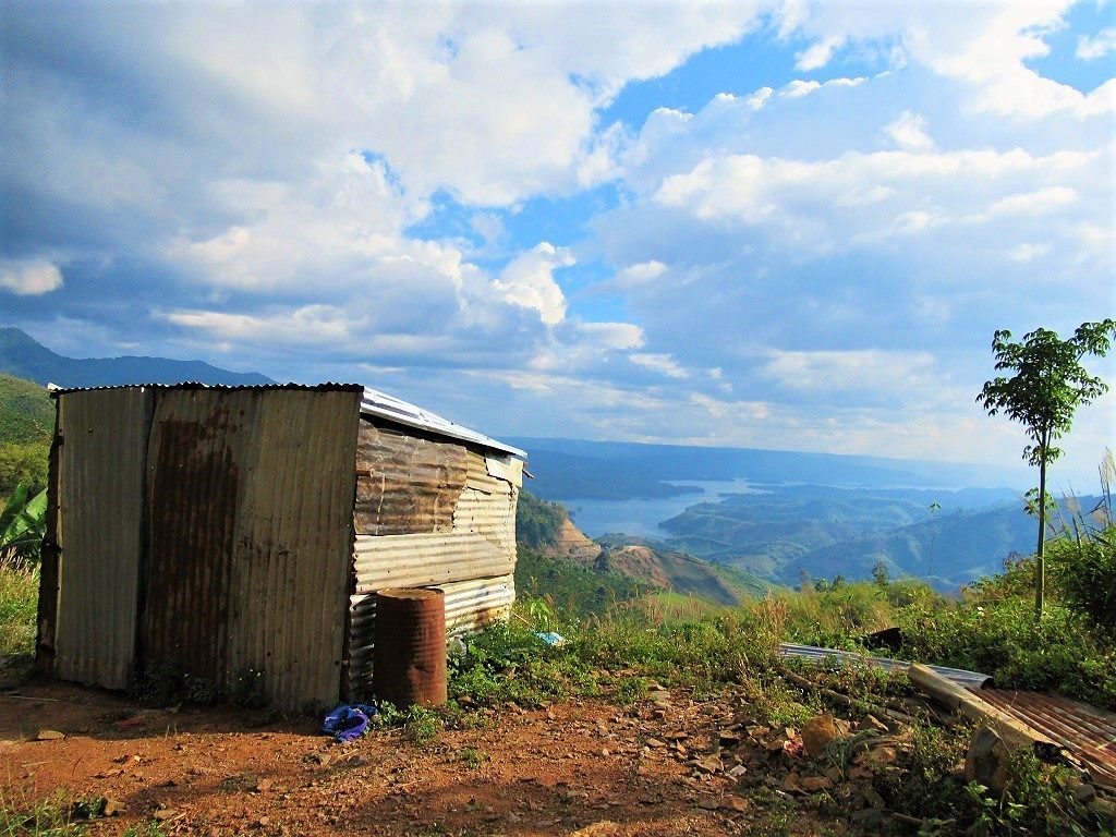
A lonely corrugated iron shack above Road QL28, looking over Ta Dung Lake, Dak Nong Province
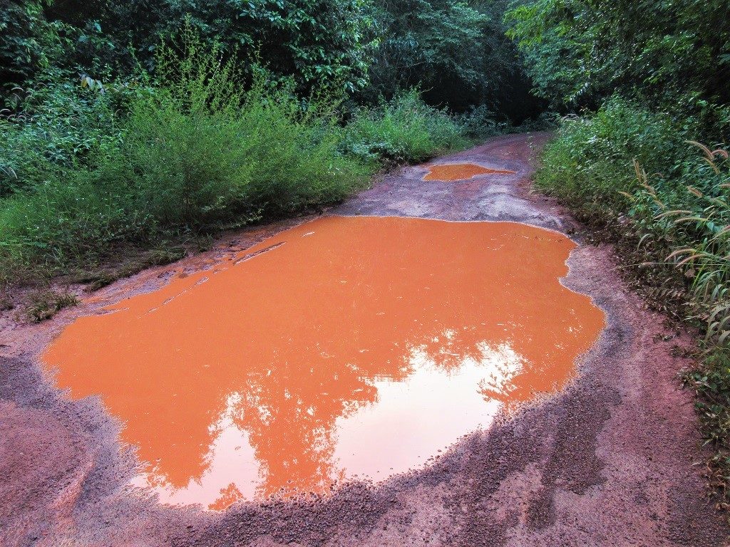
Muddy conditions on the roads around the north shore of Tri An Lake (the red line on my map)
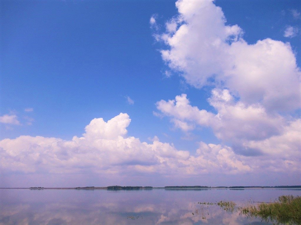
Tri An Lake is an enormous reservoir created by yet another series of dams on the Dong Nai River
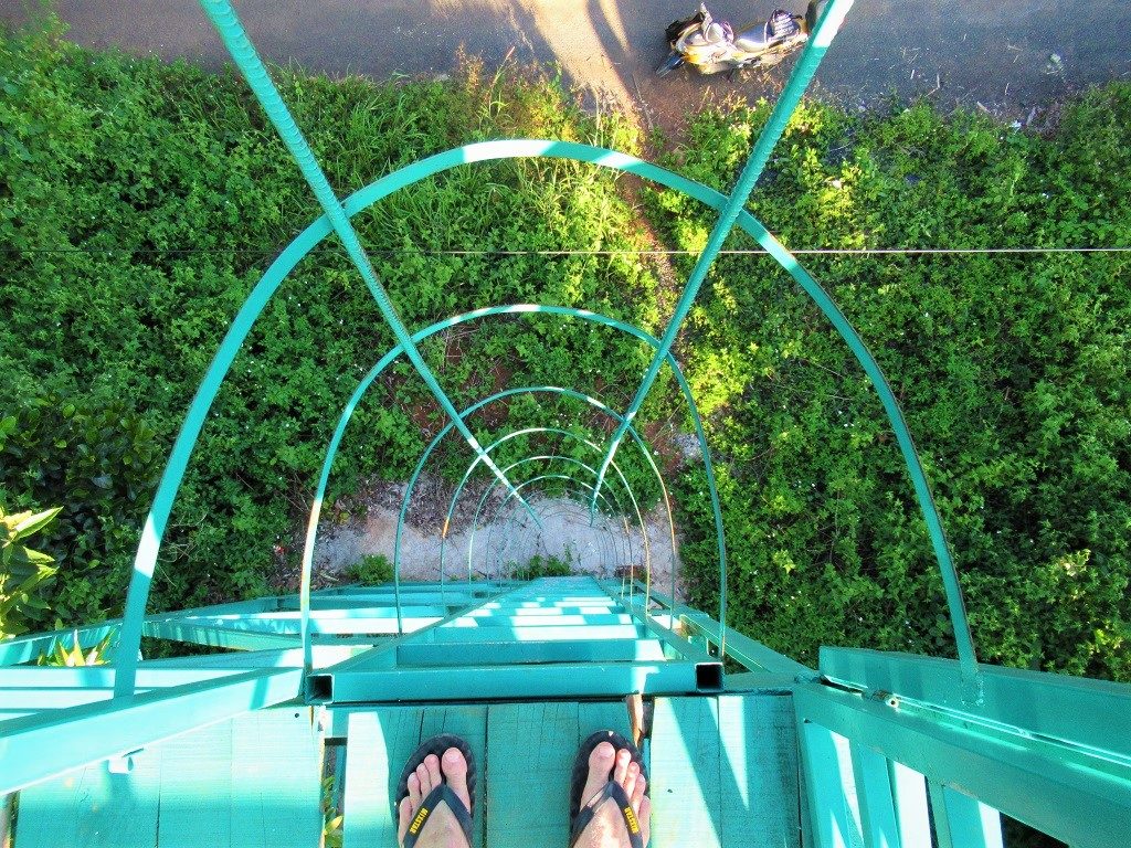
Looking down at my motorbike (Stavros) from the top of a forest look-out tower
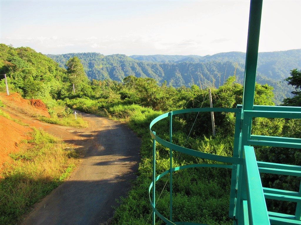
View from the top of the forest look-out tower down over the Dong Nai River Valley, Dak Nong Province
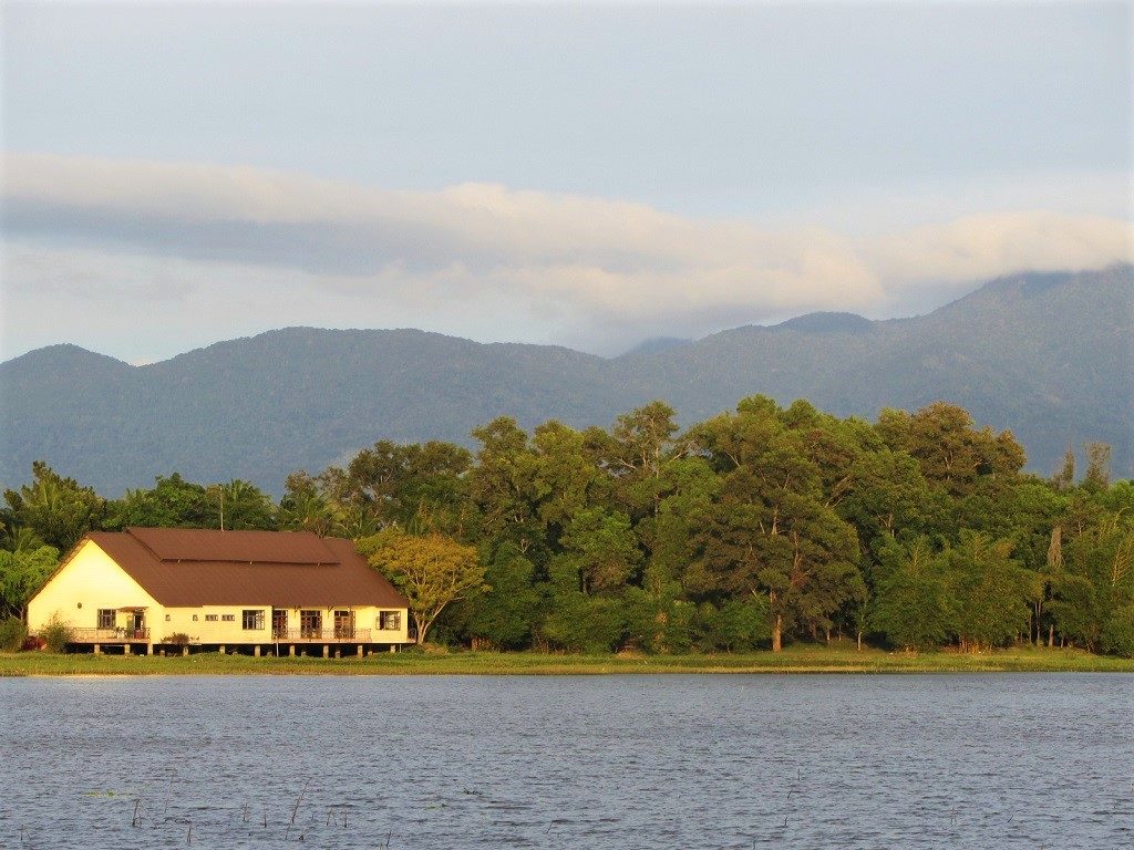
Lak Lake at dusk, seen from Road QL27, Dak Lak Province
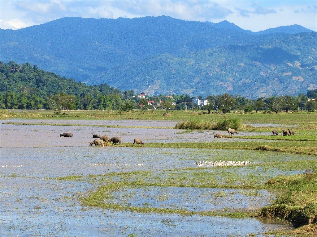
Buffalo wade in the shallow water of Lak Lake at the end of the rainy season, Dak Lak Province
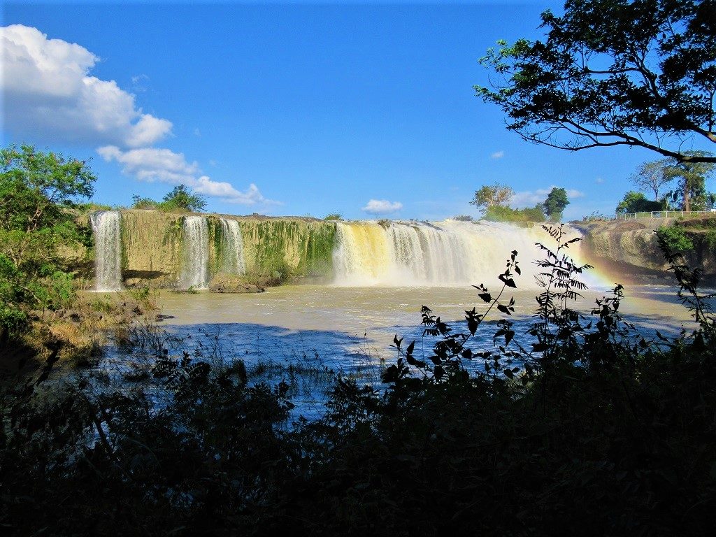
Dray Sap Waterfall has long been one of the most popular natural sights in the Western Highlands

Take your time & take in the views over Ta Dung Lake from Freedom Green Village Farmstay
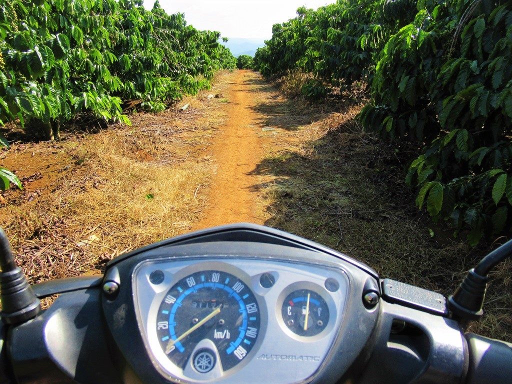
Get off the asphalt & onto the red dirt, exploring the pathways through coffee bushes

This newly paved road through pine trees improves access to a massive bauxite (aluminium) mine
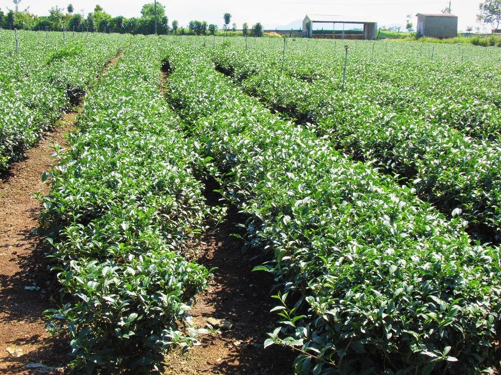
Tea plantations north of Bao Loc, near Bao Lam on Road DT725, Lam Dong Province
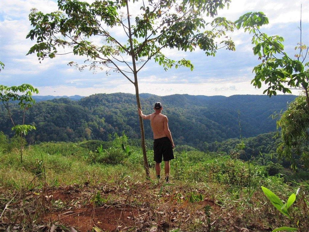
Looking out over old-growth forest from my campsite in the mountains along the Dong Nai River Valley
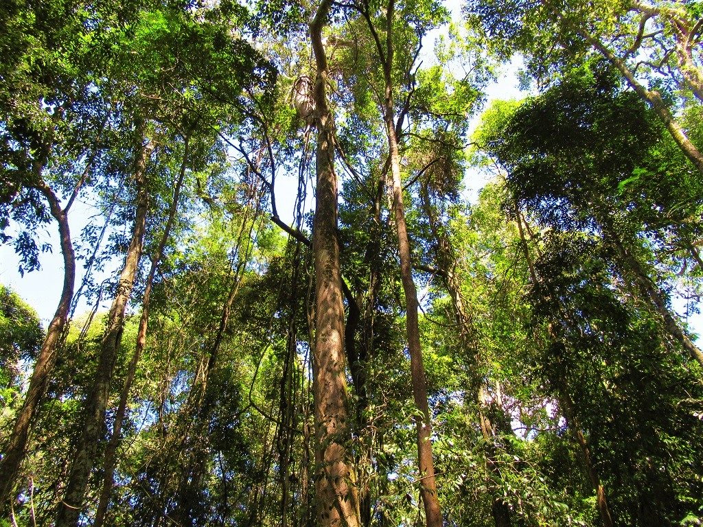
Under a canopy of giant trees in a stand of old forest slowly being felled for cultivation of cash crops
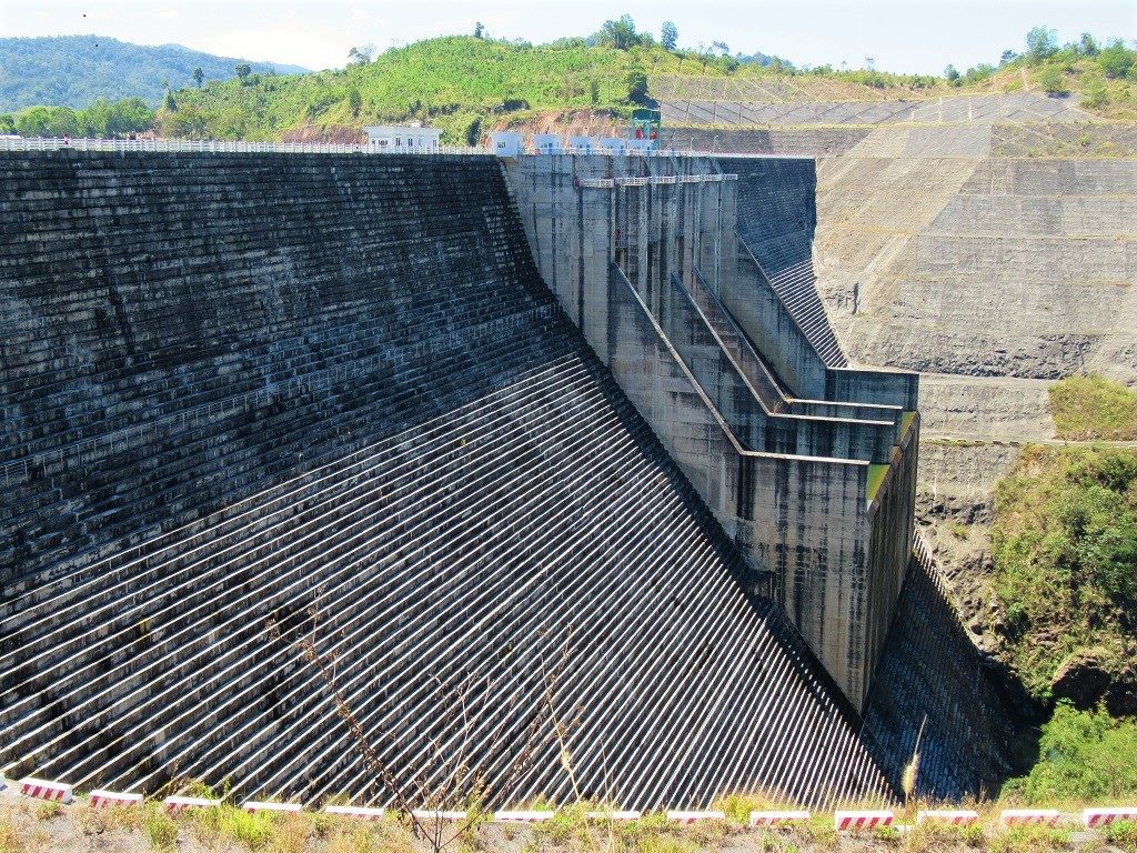
One of the many massive hydroelectric dams on the Dong Nai River, Dak Nong Province
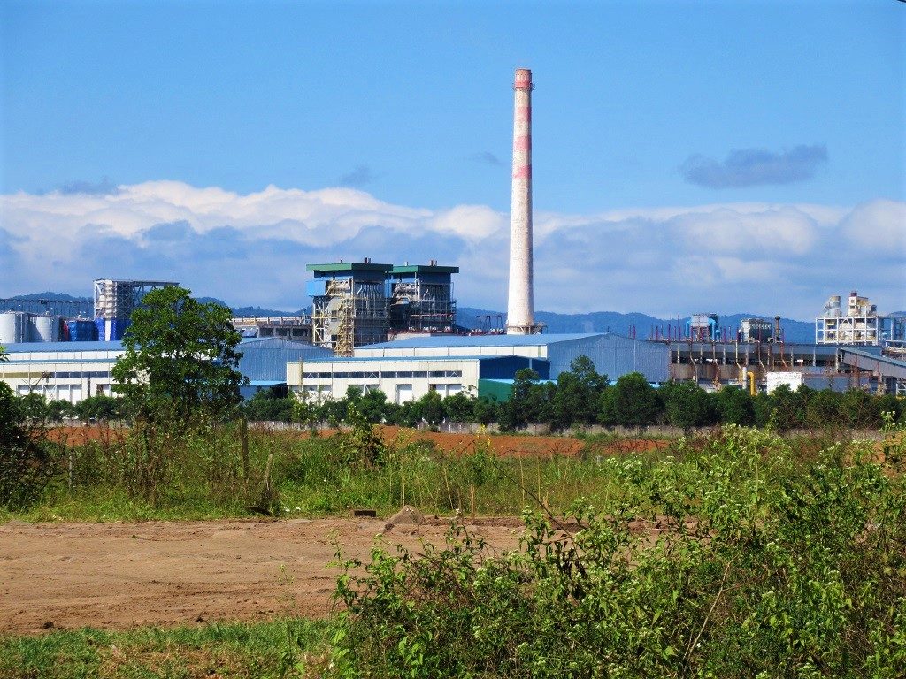
The large & controversial bauxite (aluminium) mine near Bao Lam, Lam Dong Province
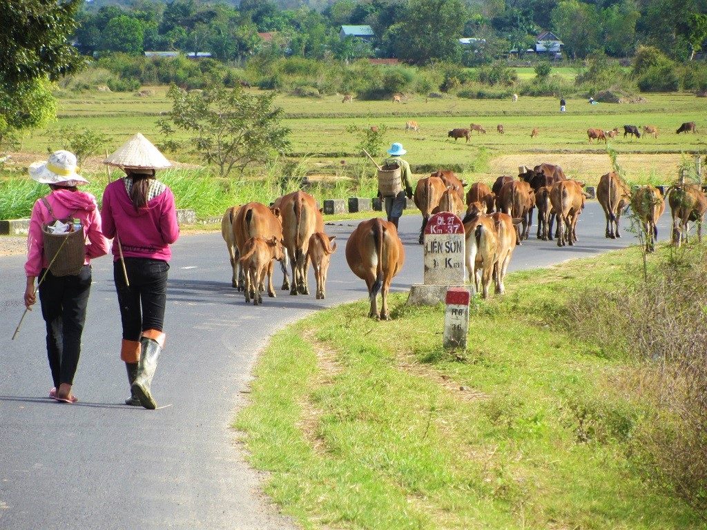
Herding cattle along Road QL27 near Lien Son, Dak Lak Province

A bowl of mì quảng noodles for breakfast on a cold, bright morning in Gia Nghia, Dak Nong Province
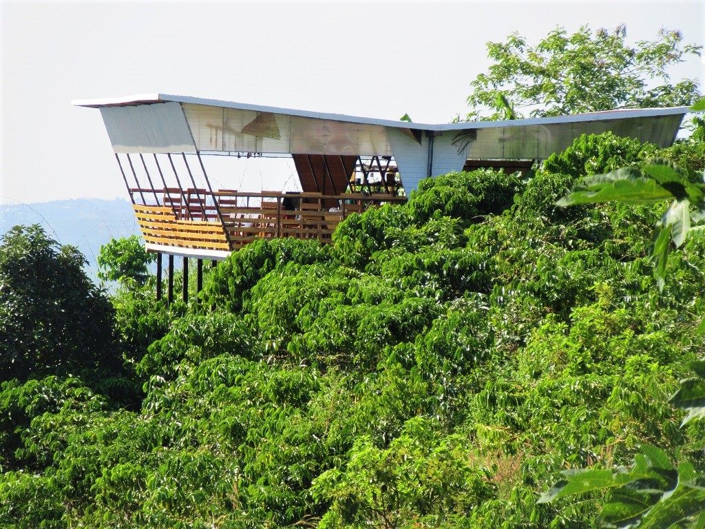
Viewing platform, cafe & restaurant at Freedom Green Village, above Ta Dung Lake, Dak Nong Province
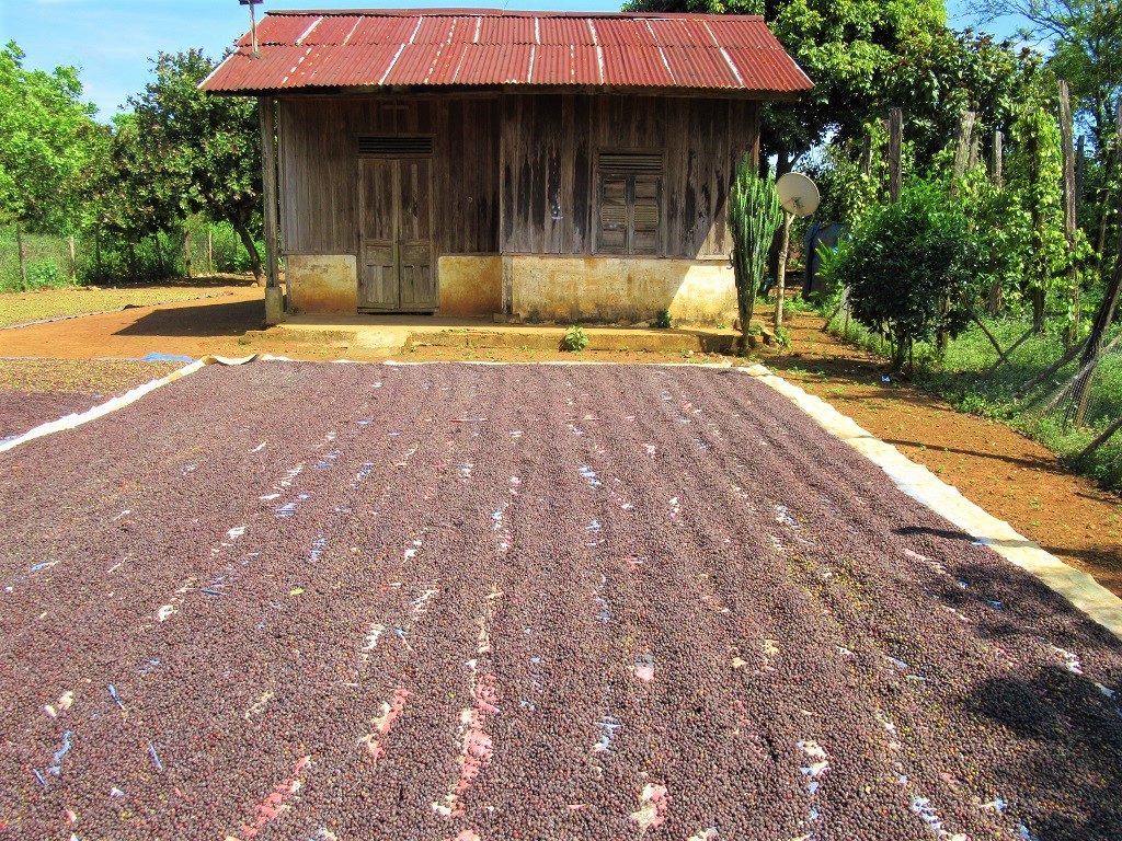
Coffee drying in the noon sun on a bright day in November, Dak Nong Province

The trunk of an old banyan tree on a hill above Ta Dung Lake, Dak Nong Province
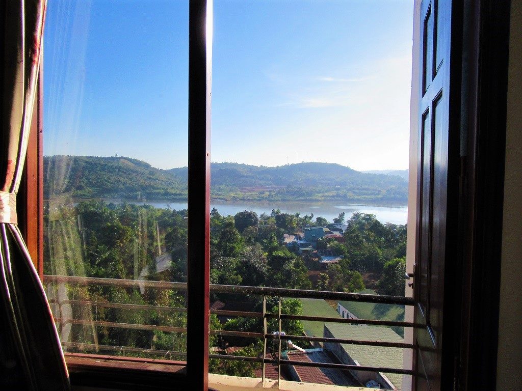
Opening the windows to another clear, dry-season day at the Sai Gon-Dak Nong Hotel

Getting into to local cafe scene at Enjoy Coffee in Gia Nghia City, Dak Nong Province

Tackling a rough (but very short) section of road crossing the Dong Nai River at Dam No.5
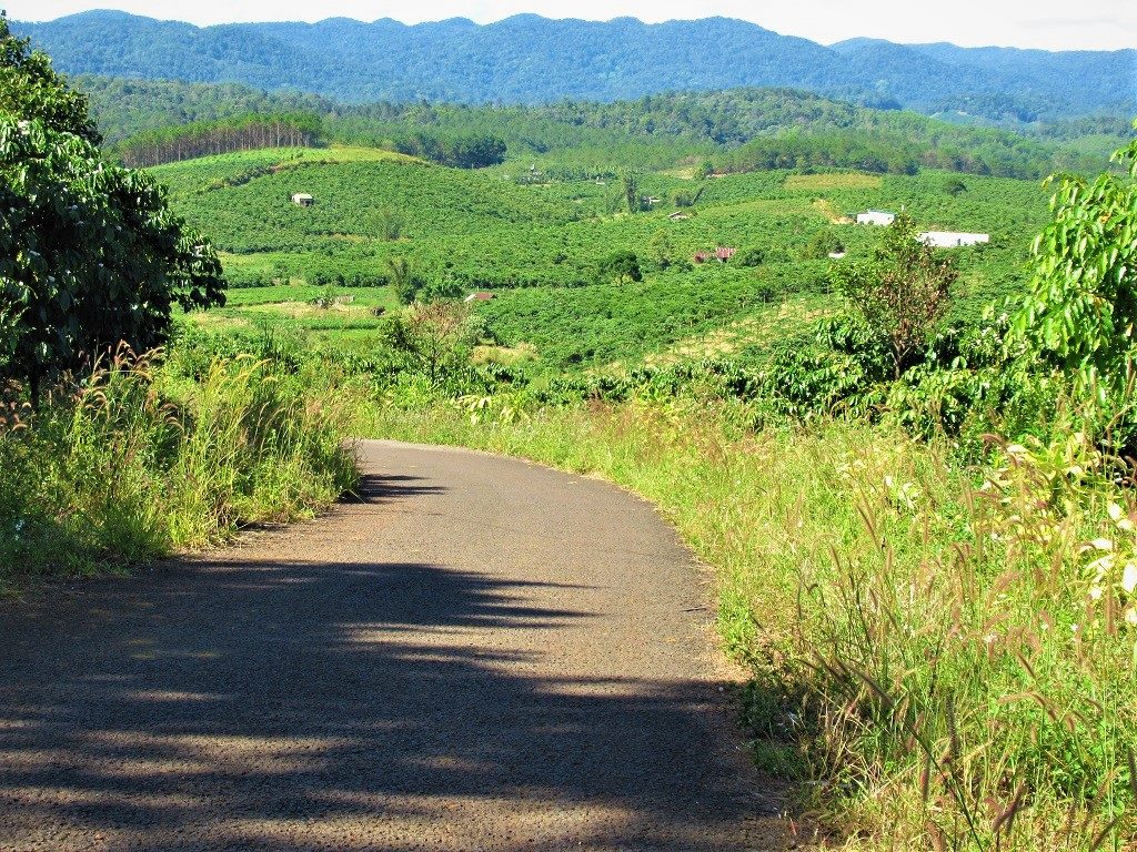
Exploring some scenic back-roads through tea & coffee plantations, near Bao Lam, off Road DT725
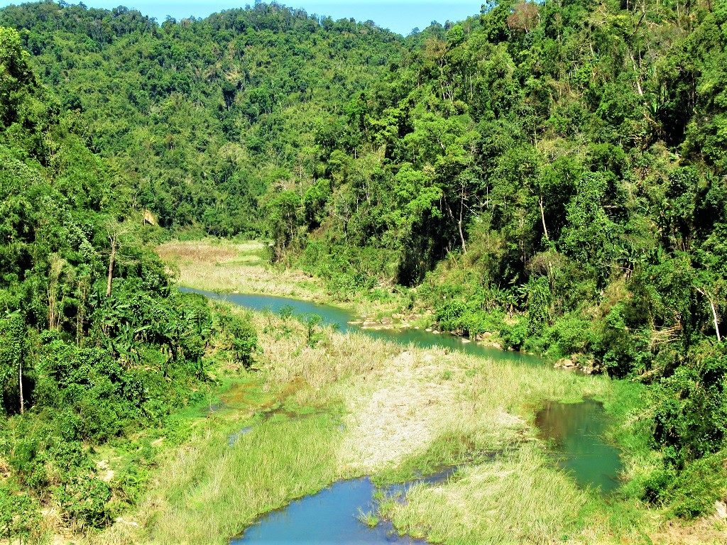
Jungle growing up around a dried-up tributary of the Dong Nai River, near Dam No.4 on Road QL28

Thick forest near the Dong Nai River Valley: each time I visit, there are fewer trees on the mountainsides

A look-out tower on a reservoir near Nam Cat Tien, on the Dong Nai-Lam Dong provincial border

My motorbike, Stavros, enjoys a rest-stop on a red-dirt road in the coffee plantations near Ta Dung Lake
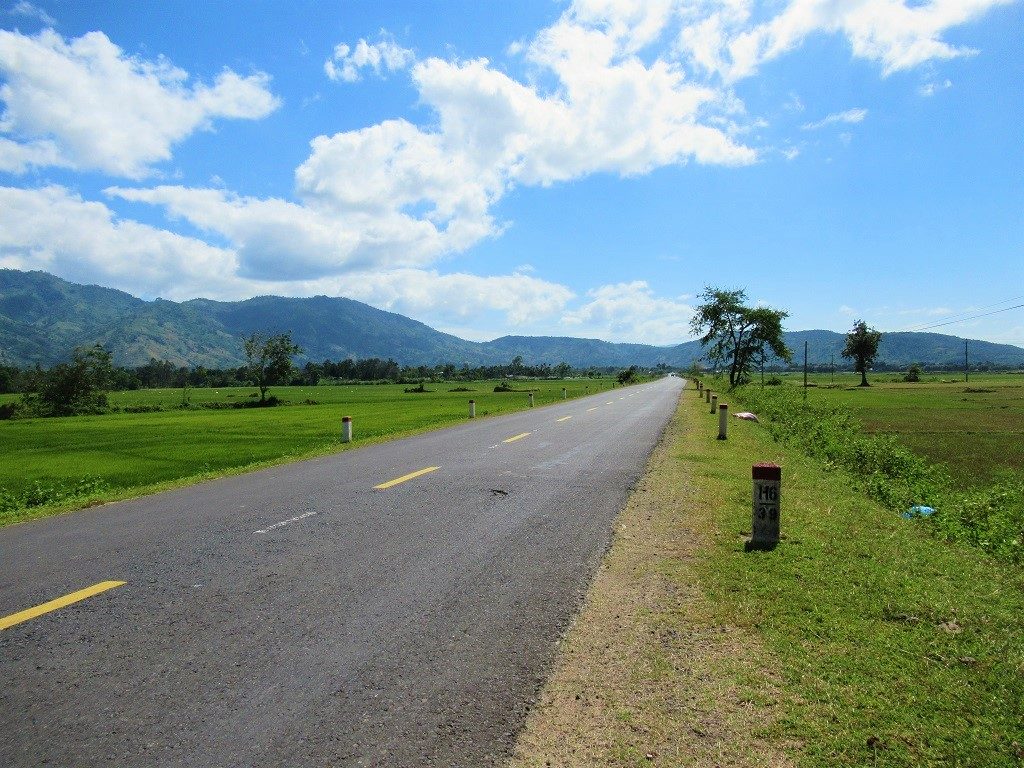
Road QL27 ploughs through a gaping valley beneath mountains, near Lak Lake, Dak Lak Province
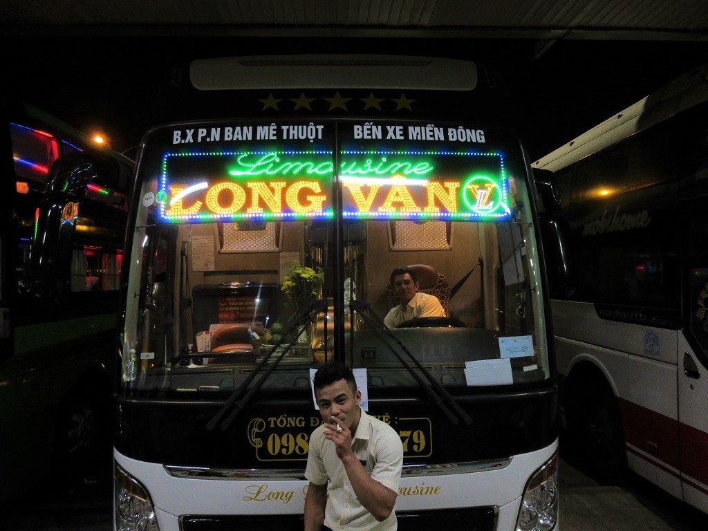
Getting ready for the long bus ride back from Buon Ma Thuot to Saigon on Long Van Limousine Buslines

A section of Road DT725 through pines trees near Di Linh, Lam Dong Province
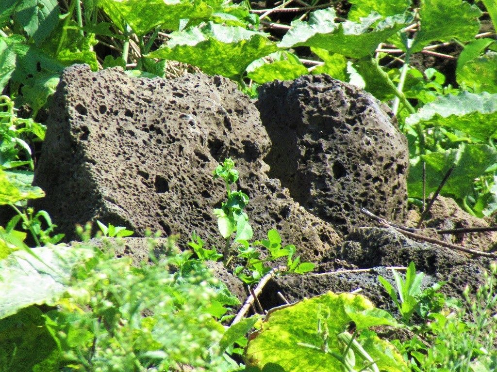
Volcanic rocks in the foliage, part of a lava field site in Dak Nong Geopark, Dak Nong Province
Disclosure: I never receive payment for anything I write: my content is always free & independent. I’ve written this guide because I want to: I like this motorbike route & I want my readers to know about it. For more details, see my Disclosure & Disclaimer statements here
[Back Top]


Hi Tom
Awesome post, thank you! I have two questions about it:
1. Do you know if it is possible to send a rental bike back to Saigon by bus and have someone from the rental company pick it up? So if I don’t return to Saigon myself? Maybe you know a company that offers such a service?
2. How regular are police checks (for foreigners) on this loop or generally in the western/central highlands? Assuming only one of two people has an IDP accepted by Vietnam, is that less of a problem in this area than, for example, on the Ha Giang Loop (I know it’s not advisable and there is always the possibility and then we would live with the consequences, I would just be interested in your general opinion)?
Thanks!
Hi Micha,
For sending/picking up your motorbike, you should contact the rental companies directly to ask them – I recommend several good rental companies on this page.
Police checks are far less frequent on this route compared to the Ha Giang Loop. But wherever you are in Vietnam, there’s always the chance of being stopped by traffic police. In most cases, foreign riders would be fined if stopped.
Best,
Tom
I lack a bit of a sense of how time-consuming it is to drive on the roads in this area. Google Maps says it’s 100 kilometres and just under 2 1/2 hours from Bao Loc to Gia Nghia. Is this realistic for a rather slow, cautious motorcyclist?
Hi Chris,
That’s an OK estimate for that particular stretch of road. Google has got much better at estimating travel time on Vietnam’s roads in the last few years. In general, on decent roads you will ride an average of 50km per hour. The speed limit for motorbikes in 70km anyway.
Best,
Tom
Thank you. I also think, Google is more accurate nowadays, because it uses movement data of it’s users.
Hi Tom, what is the best way to get from Vinh An to Cat-Tien by bicycle? Thanks so much!!
Hi Terri,
Well, you could try to red route on DT761 around the north shore in the map in this guide – the road surface may be in better condition now, but I’m not sure about that, so it’s a bit of a risk.
Otherwise, just cut east from Vinh An to Gia Tân via the small roads Hương lộ 24 and Đường Đức Huy, then join QL20 until the turn off for Cat Tien.
Best,
Tom
Hi Tom,
Thank you very much for your detailed article!
Im planning a one month bicycle tour alone around Ho Chi Minh City in January. Your itinerary looks beautiful, do you think it is suitable by bicycle or what would you advice me? Is the traffic dense? I prefer to cycle off-roads and I have a mix between mountain bike and road bike.
Thank you in advance for your advices
Hi Aurélie,
For that time of year it’s good to be in this region of Vietnam – anywhere in the Central Highlands around Dalat or along the coast south of Nha Trang all the way down to Phu Quoc Island. Take a look at my Weather Guide.
The Dak Nong Geopark Loop would be fine on a bicycle – there’s a lot of steep climbs, but I’m guessing you’d be prepared for that. You could also look at my Dalat routes, and particularly the Pine Tree Road.
Traffic is relatively light once you’re 1-2 hours out of the Ho Chi Minh City area. However, if I were you, I would consider putting my bike on a bus or train and start outside of the city. For example, you can put your bike on sleeper buses from Ho Chi Minh City to Dalat and start riding from there instead.
Best,
Tom
Thank you! I will have a look on those !
Hi again Tom,
I will take a train until Thap Cham (or I can stop before). Which road to go up to Da Lat would you suggest? i saw some pretty stiff slopes on the roads (like 30%, not sure if it is correct?!)… Would it be too hard by bicycle? I am quite well prepared, but more than 15% begins to be very hard….
Then I would love to go until Kon Tum, do you advice the Ho Chi Minh Road or rather other secondary roads by bicycle?
Then if I have enough time, I am thinking about stretching until Hue/Da Nang to ride the Hoi Van Pass, dou you think it is worth it?
Thank you for your precious advices, it is difficult to prepare a bicycle tour as I am not sure of the traffic, the slopes, the sceneries, etc…
Best,
Aurélie
Hi Aurélie,
From Thap Cham to Dalat, road QL27 is very nice. However, the elevation gain is significant – you will be climbing for about two thirds of the journey. But of course this will be the case whichever road you choose, because to go from Thap Cham to Dalat you will be going from sea-level to 1,500m. There is no way to avoid that.
Dalat to Kon Tum is a very long ride on a bicycle. Although road QL27 from Dalat to Buon Ma Thuot is quite scenic, the Ho Chi Minh Road (AH17 or QL14) between Buon Ma Thuot and Kon Tum is not particularly good for scenery and it’s a long way. Instead, I would recommend cycling some of these Dalat routes as day trips, especially the Pine Tree Road, then put your bike on a bus from Dalat to Kon Tum, then ride around Kon Tum.
In general, if you are going to cycle around Vietnam, especially the highlands, you must be prepared for long rides and steep climbs.
Best,
Tom
QL27 somewhere very roughly around here: https://goo.gl/maps/Nf4paSGYD83anmH59 had a long stretch (~20-40 minutes, felt like an hour) of horrible non-stop potholes when I drove there in mid Sept 2020. You need to warn people about this, it’s seriously awful and I haven’t encountered anything like it on my trip from Hoi An to Da Lat/Nha Trang.
I guess roads DT684 (south) and QL28 (and I guess the red one marked by you with a construction sign) would be the way to circumvent that road – are they of good quality?
Hi Florian,
Thank you for the update. Unfortunately, road conditions in Vietnam are constantly in a state of flux, especially during the rainy season, where floods and landslides cause damage to road surfaces.
Yes, roads DT684 and QL28 were in good condition last time I road them a few months ago. As for the red route (Quang Khe-Quang Son) that is a very potholed and slow route, so best to avoid if you don’t have a bike for that kind of surface.
I hope this helps,
Tom
Update: that section of QL27 had been fully repaved the last time I rode it in early 2021. Good conditions now.
Tom
Hi, is the red route okay to take to Buon Ma thuot?
Hi Lauren,
It’s highly likely that you will be stopped by border police on that route, around the area that I’ve marked with a red police icon on my map. Your passports will probably be checked, you may be fined, but probably they will escort you to the main road. Personally, I don’t think it’s worth the hassle – the road and the scenery aren’t good enough to justify the inconvenience/risk.
I hope this helps,
Tom
Tom
Ahhh really? We thought it may be beautiful as it shows mountains on the terrain and borders Cambodia. We have already done the route via Gia Nghia and Dak Nong lake so we wondered if the other route was beautiful!
It’s not ‘bad’ scenery, it’s just not worth it for the risk of being turned away/back etc.
Fair enough thanks for the advice!
Five years on, is DT741 north of Phuoc Long still off limits?
And secondly how would you know beforehand or while driving a road is off limits to foreigners?
Hi Maarten,
In general, when using roads that go near the international border that aren’t in popular tourist destinations there’s a chance that they might be considered ‘sensitive’ and therefore police might stop foreign riders. In most cases, if this happens, you will just be politely asked to turn back, assuming you’re not doing anything silly, like riding too fast, trying to walk across the border, ignoring warning signs, etc.
For that particular road, you can ask people when you’re nearby or go to the nearest police station to ask or try asking on the Vietnam Back Roads facebook page if anyone has ridden that road recently.
Best,
Tom
Thanks for the info Tom!
Hey Tom, I just used this guide to do a 3-day trip starting in Saigon and ending in Buon Ma Thuot with my girlfriend. We shared a 110cc Honda Vision which, although I feared would be a bit small for 2, was quite comfortable and negotiated the meandering mountain roads without any issues. Here’s a summary of the trip:
* Day 1 left from Saigon at 6am, following the blue route north and out of the city towards Bien Hoa. By 6am Saigon was already basking in morning sunlight and the highways are buzzing with traffic. Traffic however was manageable with perhaps the worst part being around the industrial complex north of Bien Hoa around 7am as workers in green shirts commuted en masse to the factories. We arrived in Dong Xoai for an early lunch/late breakfast of pho, and later arrived in Cat Tien around 3pm, for a total of 9 hours and 273km on the road. It was a long arduous and tiring day to say the least, with the most rewarding stretch being heading east from Dong Xoai. There were a number of unpleasant sections of rode riddled with potholes, and one long stretch of dusty road work. In Cat Tien, We stayed at the Green Bamboo Lodge, and found it quite nice and refreshingly minimal. The food however was pretty subpar but luckily we found a small restaurant in the main town called Quan Hanh. Cat Tien itself was far less touristy than I expected. I had something like Phong Nha in mind, but in reality tourism numbers are quite low, prices are cheap, and the village itself is quite small and walkable.
* Day 2 left from Cat Tien around 9am and continued following the blue line north. It was at this point that we truly felt like we were in the highlands as we climbed in elevation and the agricultural activity became overwhelmingly coffee, and being the harvest season, many farmers were even using the road to sun-dry their harvested cherries, bottlenecking traffic into one lane, which can be a bit hectic. The roads on this day would also go between smooth newly paved asphalt, and long rough stretches of pavement with hard-to-spot potholes. Towards the end of the day as we crossed into Dak Nong province, the scenery became splendid as we spotted the first dam on the Dong Nai river, and made our way eventually arriving at Freedom Green Village around 2pm, for a total of 5 hours and 134km on the road. Freedom Green Village itself is possible the single most beautifully situated piece of property I’ve seen in Vietnam or the whole world. This is not an ordinary homestay or hotel, not only because the views and the property are spectacular, but there is an expectation that you will participate in the daily routines of the farm workers, including cooking and eating with the other guests and staff, and harvesting and eating only among the many crops they have (no outside food or single-use plastics allowed inside). There are no services provided for guests. It’s only been open for about 6 months, but I have no doubts that this place is going to rise to fame quickly.
* Day 3 we left from Freedom Green Village at 9am and continued following the blue route, taking QL28 north until Lake Lak. We only made one stop at Thac Lieng Nung waterfall. The waterfall was a bit hard to find as the whole area is under construction, opening it up to mass tourism access in the future, but after trying all possible routes down the hill, we eventually found the right one, where you eventually come to a concrete “walking path” which you can easily drive down and brings you to the base of the waterfall. The waterfall itself is dramatic in scale and stunningly beautiful. If only it weren’t for all the plastic waste strewn about, which is a sad but common sight unfortunately. The rest of the drive to Lake Lak was amazing. As we climbed even more in elevation, the air felt crisp as we crested pine tree covered hills, reminding me much of Dalat. The roads were in good condition and there was very little traffic. We arrived in Lake Lak at 2pm, for a total of 5 hours and 142km on the road. We stayed at Lak Tented Camp which although couldn’t match Freedom Green Village’s spectacular views, was the overall most peaceful and relaxing destination of the trip.
* Day 4 we had an easy 1-hour drive to Buon Ma Thuot where we dropped off the motorbike to send back to Saigon (bus company: Nhà Xe Tiến Oanh, 350k VND) and walked an easy 2km to the airport and boarded a 1pm flight back to Saigon. Very easy and convenient to do this as a one-way trip, allowing us to cover a lot of ground in only 3 days.
All in all, the highlands are just a magical place to be and this trip has almost convinced me it’s time to move there. The only thing I would have done differently is taken the most direct route to Cat Tien on Day 1, as it was a long, arduous, tiring day with some nice scenery but not worth it when comparing the shorter distance 148km versus the 273km on the blue route, which had a lot of bad roads. The highlight of the trip by far was the driving from Cat Tien until Buon Ma Thuot.
It was overall an a fantastic trip as the weather in mid-December is ideal.
Hey Ben,
Thanks for the trip report. I’m glad to hear you enjoyed it.
Yes, I’m sure Freedom Village will become a big deal, and it’s very refreshing compared to the other selfie-orientated accommodations up there above Ta Dung Lake.
The idea of taking that detouring loop west of Tri An Lake and back around to Cat Tien is to see utilize different roads in that area: the QL20 to Cat Tien, although direct, is fairly dull and overused. And I’ve covered other alternative routes to Cat Tien in my Dalat Back Roads guide. But the blue route to Cat Tien is a lot to ride in a day, and is perhaps better with a night stop in Tri An (at Ba Dat Homestay) or Dong Xoai or with an extension on one of the red routes up to Phuoc Long, around the reservoir and back down to meet the blue route again to cross back over to Cat Tien.
Three days isn’t long for this route, but it sounds like it went well.
Tom
Hi!
there is some content missing under one picture
Gia Long Falls, named by the last of the Nguyen Dynasty emperors of Vietnam, in honour of the first
and it stops….
Hi Marc,
Yes, I see what you mean, but that’s how it’s supposed to read.The end of the sentence is implied:’Gia Long Falls, named by the last of the Nguyen Dynasty emperors of Vietnam, in honour of the first (of the Nguyen Dynasty emperors).
Tom